Geotechnical Investigation and Engineering: ~15-Acre Solar Farm Array in Southern Illinois
Pioneer was contracted to provide geotechnical engineering services for the proposed Solar Farm Array in Southern Illinois. In support of the proposed solar farm array construction, Pioneer has performed an extensive geotechnical investigation including soil borings, test pits, and field soil resistivity.
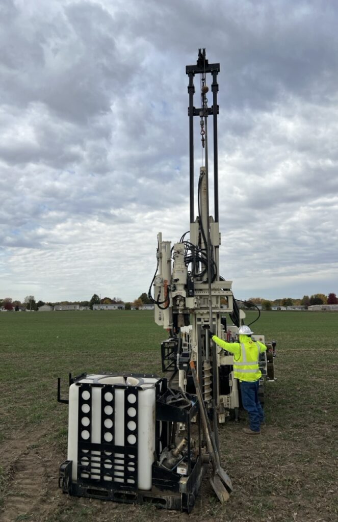
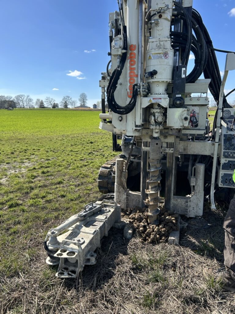
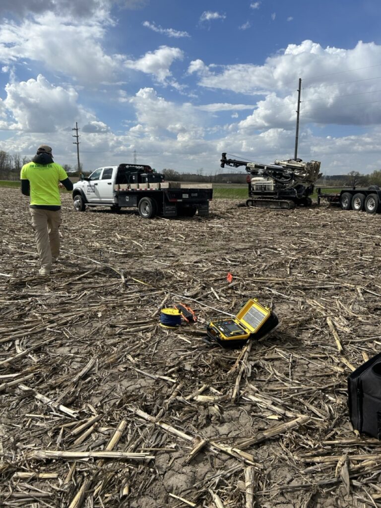
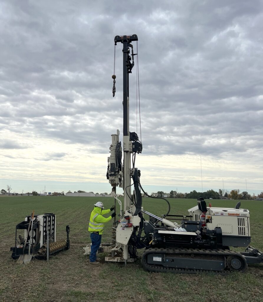
The geotechnical investigation for the proposed solar array included soil borings performed using an ATV-mounted Geoprobe 7822DT drilling rig advancing soil borings up to depths of 20 feet using hollow-stem augers. Sampling procedures followed ASTM Standard D-1586, in addition to bulk sample collection at specified locations for various laboratory tests. All samples were returned to Pioneers lab for further examination, classification, and testing including Moisture Content, Unconfined Compressive Strength using a calibrated pocket penetrometer and a Rimac machine, and Dry Density. As part of the solar testing program requirements, Pioneer performed Soil Resistivity field testing using the Wenner 4-Point test method. Bulk samples recovered during drilling operations were used for specified laboratory tests including Thermal Conductivity, Soil Corrosion/Corrosivity, Electrical Resistivity, Grain Size Analysis, Atterberg Limit, and Standard Proctor Test.
Pioneer’s engineers provided in-depth research and analysis for the site to ensure the Client was provided with pertinent, site-specific information. Curated information included a cursory review of historical photographs as well as in-depth research on local geology, active/historical mining activity, evidence of mine subsidence, and susceptibility of sinkholes due to karst topography. All requested information for foundation design was provided in the report including, but not limited to, bearing capacity, skin friction, lateral earth pressure, frost heave analysis, seismic site class, equipment pad and access road recommendations, and more.
The construction of a typical solar array consists of rows of panels supported by a grid of steel H Piles driven or vibrated into the earth to a minimum depth of 10 feet below grade. Based on the soil boring data, shallow bedrock was encountered between depths of 8 to 20 feet below the existing ground surface. Pioneer provided the Client with applicable recommendations relative to the site conditions as well as a proposal for a supplementary test pit investigation to assist in determining the depth of the bedrock throughout the site. Based on the local geology, Pioneer determined that the site was located near a Karst region of Illinois, with sinkholes mapped out by the Illinois State Geological Survey (ISGS) within a mile of the site. With carbonate bedrock overlain by glacial till present at the site, Pioneer provided the Client with a brief assessment of potential sinkhole risk using LiDAR data and other mapping resources from the ISGS. The assessment concluded that while located within a karst region, the site has not experienced karst activity and is located outside of the known, mapped sinkhole area.


